Road & Highway Survey
Highway surveying is a specialized type of land surveying generally conducted for government agencies during the planning stages of a highway development project. During the construction process, a highway construction survey can ensure that progress is occurring as it should, and that the highway is located precisely where it should be. After the highway is built, a highway survey can be used to provide an accurate layout of roadways, utilities, storm drainage systems, overhead wires, nearby buildings, and other features of the landscape.
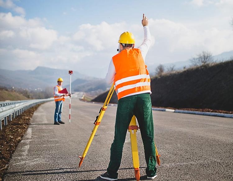
A construction surveyor is often involved in the placement process for the highway. This requires a survey of the existing terrain to find the best route. Highway construction surveys are particularly concerned with areas where dirt must be moved, noting to what level and grade. Often the goal of this survey is to determine the appropriate route where the least amount of land will need to be moved. An engineer can use the survey data to determine where the dirt should be moved to reduce the total amount of dirt relocation.
After the road is built, additional surveys may be required for a wide variety of reasons, including road repair or maintenance. Highway surveys are also used during the process of accident reconstruction and investigations. The process of taking road measurements to construct a survey once required closing of the entire road so that the surveying team could set up equipment on the road’s surface. Today, specialized laser equipment allows this to be done from the roadside, virtually eliminating the need for road or lane closures. The highly accurate data delivered by these systems allows for the creation of detailed 3D maps showing not only the roadway, but also barriers, overhead wires and other features.
Quick Connect
- acstfd@gmail.com
- +91 7033049157
+91-612-2286158