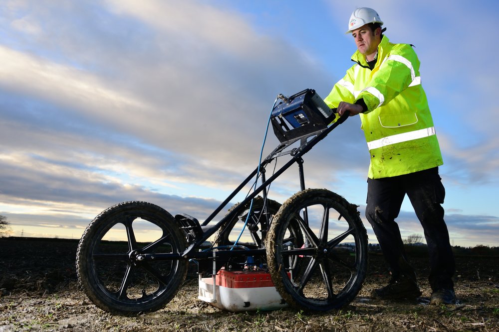
Geophysical Survey

Geophysical surveys are essentially source-response geological studies; source being the natural fields of the earth (passive methods) or by artificially energizing the earth (active methods) and the responses are interpreted as due to the geological variations. The advantage of applying these surveys is that they can be employed on all platforms such as surface, airborne, shipborne, and in boreholes. The success of geophysical methods depends on the physical property contrast of the objects of interest with the host in which they are existing. Minor changes due to near-surface geological bodies are embedded in the naturally occurring strong earth fields, such as gravitational, magnetic, radiometric, electrical, and electromagnetic origin. Generally, these geophysical surveys are employed to provide information on the distribution of geological boundaries both laterally and at depth and the structures associated with them which may have bearing on mineralization. Along with them, artificially generated fields, such as electrical, electromagnetic, and seismic are often used to identify the ore environment, to map the ore geometry, to establish the depth persistence of ore body, to plan the drilling operations, and to estimate ore reserves. The essence of geophysical methods is in analysis of the propagation of energy through the geological medium. Thus integration of these geophysical methods plays a vital role in all stages of mineral exploration.
Quick Connect
- acstfd@gmail.com
- +91 7033049157
+91-612-2286158


